Geotechnical and Geophysical
Geotechnical, geophysical and site survey data are used to avoid or reduce unexpected seabed or ground conditions during subsea or land construction projects. Without these data, projects are exposed to substantial and often unnecessary risks.
Offshore Energy can provide assistance in all areas of seabed survey, geotechnical and trenching engineering, including:
- Site or route desk studies
- Specification and management of geotechnical and geophysical surveys
- Geotechnical and geophysical data interpretation and integration
- Geotechnical hazard assessment and route optimisation
- Geotechnical design of seabed structures and anchors
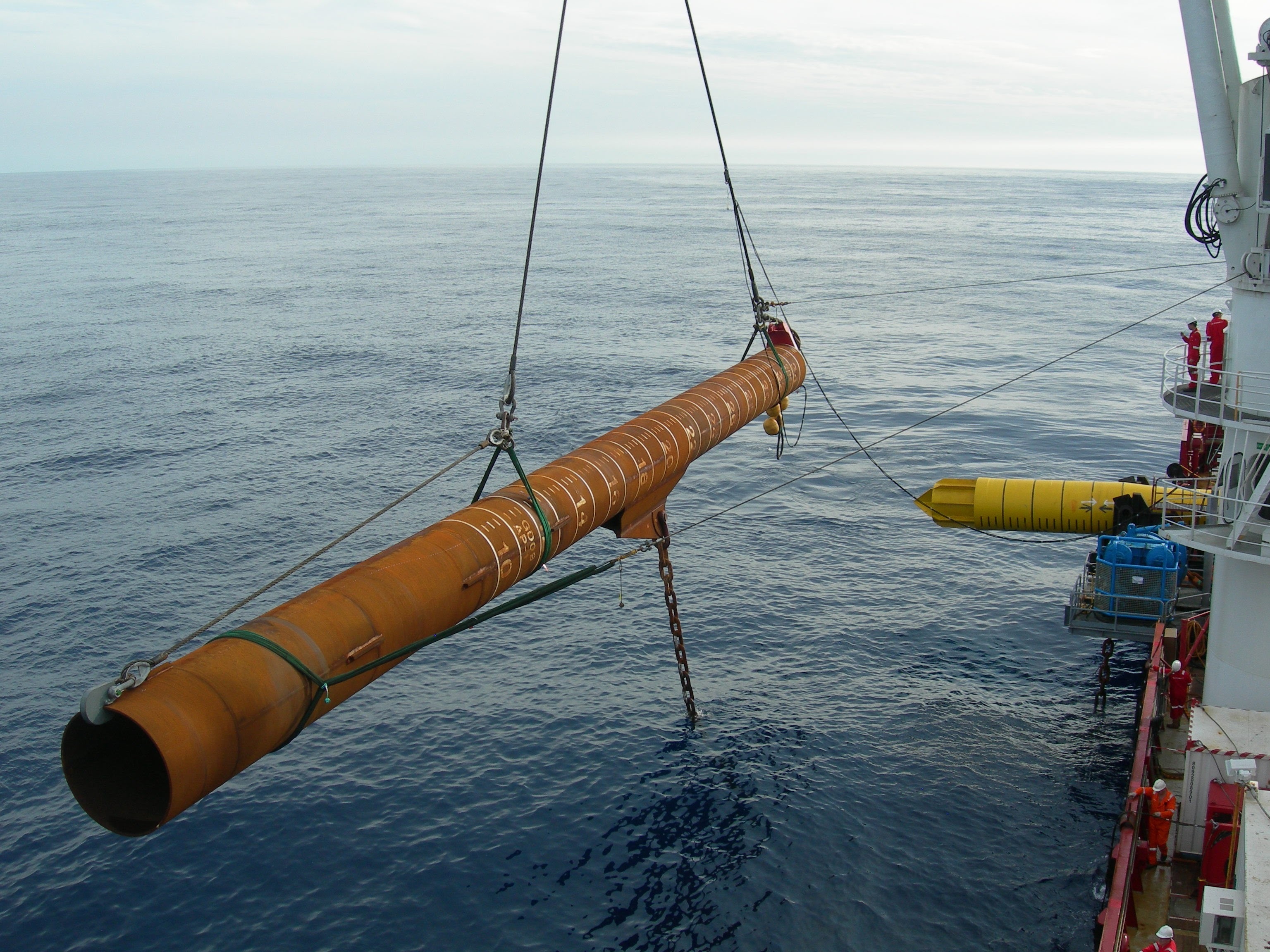
- Pile design, pile driving assessment, and pile monitoring
- Jack up foundation stability assessment and leg penetration
- Conductor setting depth and borehole stability
- Pipeline-soil interaction parameters for axial, lateral and upheaval buckling studies
- Burial assessment for ploughs and trenchers, and assistance with asset selection for pipeline and cable burial
- Backfill engineering
- Pipeline on-bottom stress analysis, span analysis and seabed preparation
- Decommissioning offshore foundations, pipelines and cables.
